Freshwater West to Stackpole Quay – Wales Coast Path

« of 2 »

By now we have covered the South Wales, Gower, and the Carmarthenshire sections of the Wales Coastal Path. We are now starting on the Mother of all paths – Pembrokeshire Coast Path. Opened in 1970, this path is really well managed and on the whole does what it says on the signs – hugs the coast.

We completed the short walk from Saundersfoot to Amroth earlier in the year.

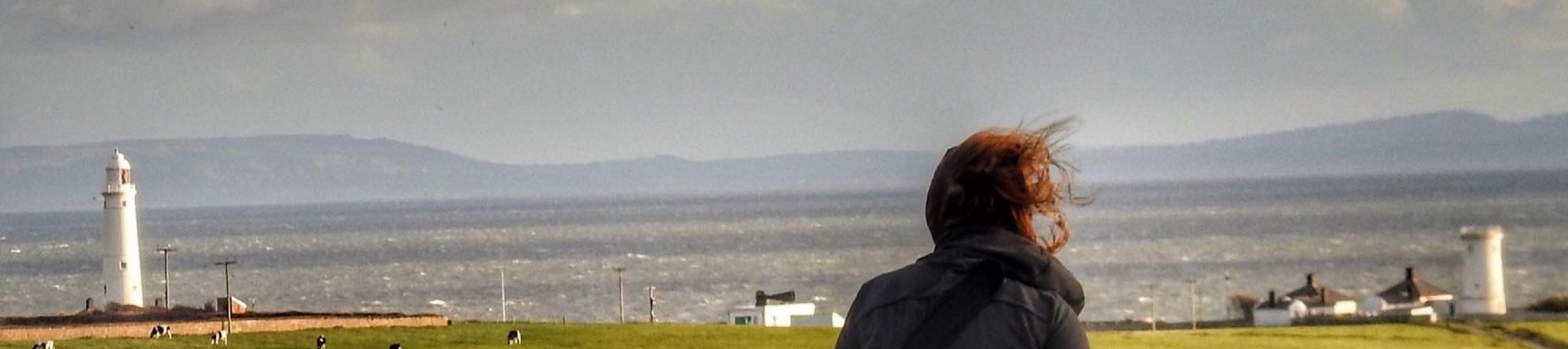
Our walk started in Freshwater West noted for sunsets and film sets. Harry Potter and the Deathly Hollows and Russell Crowe’s Robin Hood were both filmed here.

As we were travelling through we came across a memorial service commemorating the tragic loss of lives from WW2, when on Easter Sunday, 26th April 1943, two landing crafts were making their way from Belfast to Falmouth. A vicious storm resulted in 72 Royal Marines drowning, and a further 6 from the Royal Navy volunteers from HMS Rosemary who on a small vessel, were trying to set out a line to save the shipwrecked men.

We checked out the Pembrokeshire Beach Food co. Cafe Mor and the seaweed drying hut. Then moved onto Castle Martin MOD firing range.

The signage is slightly confusing, but we followed the directions in our guide book.

There was no firing on the day we designated for our walk – so we cut across miles of MOD land, crossing over tank roads, until we eventually found the sign for Green Bridge of Wales And Elegug (guillemot) stacks. We also chatted to Edward Dunn – landscape artist from Llanglydwen.

We detoured to see Flimston chapel, before eventually reaching the coast.

It is a pity that a large section of the coast is inaccessible due to the wide area covered by the range, and the constant warning signs a bit of a downer.

Each stage of St Govan’s head is achingly beautiful. Young rock climbers are taking advantage of the sheer drops, but most surprising was a chap on a mobility vehicle parked on the edge of a cliff. Turned out he was waiting for a friend, but he pointed us in the direction of the Devil’s Cauldron, a collapsed cave.

We still had enough energy to walk down to St Goven’s Chapel, it is suggested that there was a hermitage here in the sixth century, but this Chapel dates mainly from thirteenth century.

At this stage I am walking in my socks, new boots are pinching badly.

Broad Haven and eventually Barafundle Bay beaches are a welcome relief, although the steps up from Barafundle Beach are a bit punishing – in your socks….

The shadows were lengthening as we made our way down to Stackpole Quay – once used to bring coal in and send limestone out by sea.

There is a National Trust car park and tea rooms here.

We returned to Freshwater West to watch the sunset!

Note: you can detour to Bosherston Pools from Broad haven if you have the time.

Lydstep to Stackpole Quay – Wales Coast Path

Starting at Lydstep point – slightly scarey, seeing a couple of lads standing on high vertical limestone Cliffs with a sheer drop.

We head from Skrinkle Haven and onwards towards Presipe Bay, chatting to a sweet family who had been recommended this Beach favoured by locals

As we descend onto Manorbier Beach we walk passed King’s Quoit, an ancient “cromlech” burial chamber.

Hats of to Keep Wales Tidy!  There are thousands of volunteers working together to keep our coast clear of rubbish.   We have repeatedly seen the mounds of rubbish that  beach cleaning volunteers have collected for Council pick up – the photograph of a letter is from a volunteer replying to a letter of thanks left on a bench. Unsung heroes – many thanks.

Manorbier Castle, Norman style Manor House overlooks the beach. Gerald Cambrensis – Gerald of Wales was born here in 1146.

Crossing the stepping stones, we curved around East Moors Cliff to Swanlake Bay – not an official nudist beach but we did spot a chap in a sweater but with nothing covering his nether regions – on a cold day it must be a nudist dilemma do I go topless or bottomless!

A Sunday lunch stop at The Longhouse, Freshwater East, and very nice it was too, before heading up the steep slope towards Greenala Point and then downwards towards Stackpole Quay

Saundersfoot to Lydstep – Wales Coast Path

« of 2 »

We had a very pleasant stay at East Trewent Farm, starting the day with an excellent breakfast.

We walked across the beach in Saundersfoot as the tide was out. The path heads up steeply from the beach, and continues to rise and fall in this way for much of this walk.

At Waterwynch the ascent seems to go on for ever.

Until we eventually reached a point where we caught tantalising glimpses of Tenby – with its pretty Beach and harbour with views out towards Caldy. We stopped for a very good coffee in Caffe Vista, Tenby, enjoyed the view and chatted to a couple who were both on their third marriages! If at first you don’t succeed…..

The Wales Coastal path signs are not very visible about the town, but our guide book sets out a clear route to South Beach.

The red flags are flying at the Penally range – firing in progress, once again we find that the MOD presence is at odds with the beauty of the place.

We detour into Penally, and despite the signs giving clear instruction how to proceed and one sentry clearing our way up the outer boundary of the range, we were met at the top by another sentry who told us off, for transcending the path while shooting was in progress. Confusion reigns!

We caught up with some walkers who took a week a year to walk the WCP, and then were overtaken by a group of young soldiers carrying full packs, racing along the path…

We followed the limestone Cliffs, up and down until we reached Lydstep Beach and headed gratefully through the caravan park and up the hill to the car park.

Saundersfoot to Amroth – Wales Coast Path

Bad weather curtailed this walk along to Wales Coast path – rain stop play after 4 short miles through the tunnels and reaching the New Inn in Amroth for a very welcome drink  – we decided to call it a day.

Amroth to Pendine – Wales Coast Path

Today we took on Storm Doris and walked from Amroth to Pendine Beach. Sunshine, cloud and quite a vicious wind at times, battering us as we reached Gilman Point.

There are 441 steps in total on this stage of the Coastal path walk, but the most amazing Carmarthen coast line to distract you from zig zag path that take you up 395feet and then down again.

Looking back over our shoulders we can see Tenby and Caldy island and ahead the Gower comes into view.

Marros sand is a lengthy stretch of beach, where the Rover, a schooner carrying culm was deliberately beached, rather than sink, back in 1886.

Further along the headland you reach Morfa bychan bought by the national trust to avoid any other developments along this stretch of coast. It was here,a large deployment of troops, rehearsed the 1944 D day landings.

Over Gilman Point and we look down on the 7 mile long, golden sands of Pendine beach, scene of numerous land speed records.

Our walk ends with an all day breakfast in the Point cafe, about the only place open in Pendine , with its entertaining and chatty owner who had relocated from Merthyr.

Pendine to Laugharne – Wales Coast Path


It was the first day since the start of the Wales Coast Path walk that it was warm enough to wear t-shirts. Our mate Kim joined us for this weekend of walks.

The ground though was sodden, our boots sinking into mud, and brown splatters all over our wet weather trousers.

Also a bit of a tedious walk out of Pendine on the main road

The stretch leading into Laugharne is stunning, Dylan Thomas’s Birthday Walk leading down into the township of Laugharne liberally has regular references and pays homage to the poet.

I stopped to chat to a lady walking her dog, and when Lucy joined us, it turned out that she had worked as a castle custodian and knew Ms O’Donnell from her time in Cadw, so followed a very long chat.

I love this kind of random meetings we make as we progress on the path

Laugharne to St Clears – Wales Coast Path

We enjoyed the walk through Laugharne, passing The Boathouse that Dylan Thomas made his home while writing some of his memorable poems.

Parts of the walk up to St Clears was very very mucky – so mucky that Lucy’s new boots were well christened and at one stage, a boot was sucked off her foot, and walking pole got stuck.

Lucy seeking to rescue stick and boots with her well manicured pink nails will stay with me a while. We shared a giggle as she hobbled out of the mud, boot in one hand, and one sock and one boot on her feet.

More mud was to followed and we gratefully staggered into the Santa Clara pub in St Clears, where the local builders, enjoying a swift pint before heading home had a great laugh at our expense.

Light refreshments later we jumped on the No 222 bus to Pendine, picked up cars and set off for our cottage in Laugharne, aptly called Milk Wood Cottage.

St Clears to Llansteffan – Wales Coast Path

The day started with an early morning pick up at Carmarthen station as our friend Eniko joined us. Swiftly back to St Clears and heading to Llanstephan.

Not such a nice day – cloudy.

Lots of road walking today, not my favourite surface. You only get views of the coast at the beginning and end of this stage.

Much of this walk from field to field or on the road. Llansteffan beach, lots of young families on the beach, enjoying the brisk and bleak weather.

A slight detour up to the castle is a must, although the climb up was a bit of a challenge at the end of a day’s walking. Llansteffan castle, 12th century flick flacked between the Welsh and the Normans, both vying to take control of this strategically placed fortification.

There is a real sense of spring in the air!

Our friendly taxi driver of the day was Eddie, but a whacking £35 fare had us rethinking our travel arrangements for the next day.

Evening had us dining in Arthur’s, a very friendly eatery in Laugharne.

Llansteffan to Carmarthen – Wales Coast Path

Some fields and quite a bit of road and somewhere near Morfa Bychan having walked a couple of fields, our app, the book and the path signs didn’t quite tie in to each other, but after a bit of a wobble we were back on track. After Brook Village there are a couple of steep road hills.

A helpful farming family put us on the right track, walking through a very mucky wood, we ran into a young female walker who was making her way to St Clears. It was getting late and we were all concerned about her, with the light fading she had a 10 mile walk over very muddy, confusingly signposted fields! She was however determined to travel onwards.

Kim and Eniko decided to pick wild garlic leaves for our evening salad, masses of fresh young leaves around in early spring. So get picking garlic lovers!

We eventually reached to large Fish sculptures on the outskirts of Carmarthen.

Back in Laugharne our home or the weekend we were very happy to shed our boots – but not quite able to resist a walk around Laugharne, while the moon was full and a slight mist over the town – very Dylanesque!


Carmarthen to Ferryside – Wales Coast Path

For a weekend of mainly estuary walking we stayed in a little cottage in Laugharne.

I love Laugharne, the spirit of Dylan lives on – but the parking is a nightmare.  A frosty morning and I am loading the car when I notice that someone had scrolled “Do not Park here” – to be immediately accosted by a very irate pyjama clad female who berated me for parking legitimately in a space outside her house… at 7am, before I had a coffee which was a bit much!

Anyway other encounters were much friendlier, so off we set in the car to Carmarthen to walk to Ferryside.

As we walked around a busy roundabout on the road out of Carmarthen, we heard a car toot its horn repeatedly – looking round we saw friendly Eddie, our taxi driver from Saturday – with a cheerful “still walking ladies” – he disappeared down the road.

A pretty enough walk, passing a number of farms, one steep 60 step drop, but otherwise a pleasant but not spectacular walk.

Then back on the bus to Carmarthen and the drive home.

Lucy and I have now completed 185 miles of the Wales Coastal path. Only some 695 miles to go!